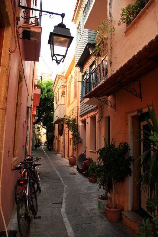
Crete is a beautiful and impressive island, a miniature continent with steep mountains, hundreds of gorges, unique plants, lost civilizations, olive groves, vineyards and... goats. Today it is not only the most popular European resort with a developed tourist infrastructure, but also the cultural center of Greece with a very rich history.
Crete- the largest Greek island after Cyprus in the eastern Mediterranean and the 5th largest in the entire Mediterranean. 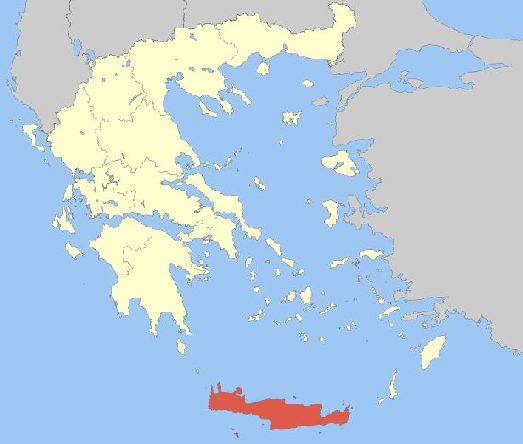
Enlarge map
It is one of the 13 regions of Greece. Its location was determined in the south of the Aegean Sea, at the crossroads of three continents: Europe, Asia and Africa. The island is closest to North Africa. The area of Crete reaches 8336 km². where about 800,000 people live. The largest width of the island is 60 km in the widest section between Capes Dion and Litinon. And the narrowest, 12 km, forms the isthmus of Ierapetra.
Administrative division
The island consists from 4 prefectures or nomes, administrative divisions of the second level: Chania, Rethymnon, Heraklion and Lassithi. 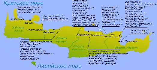
Enlarge map
Among the largest cities are Heraklion,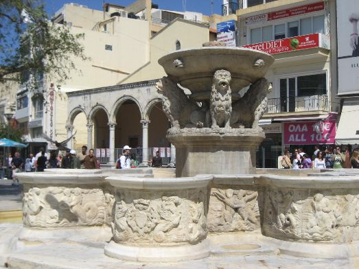
Chania, 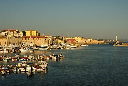
Rethymno, 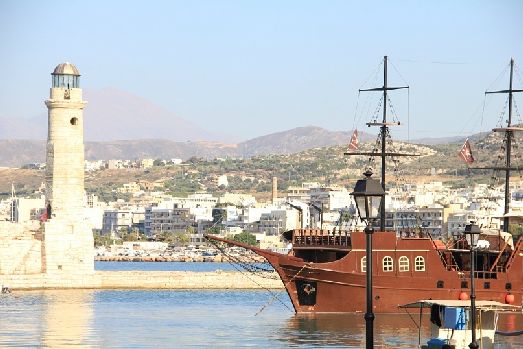
Ierapetra,
Agios Nikolaos 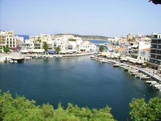
And Sitia. 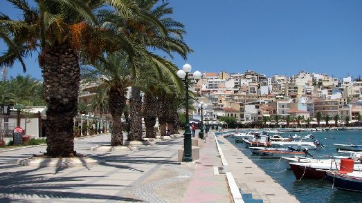
Heraklion- the administrative and economic center of the island, its capital, as well as the fifth largest city in Greece. 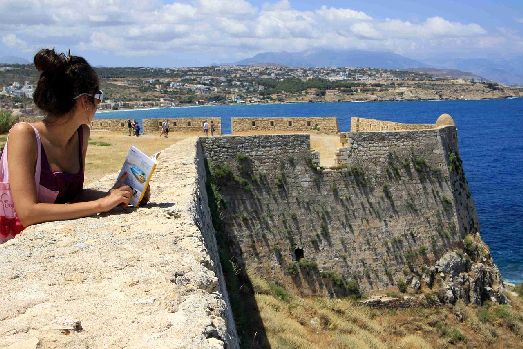
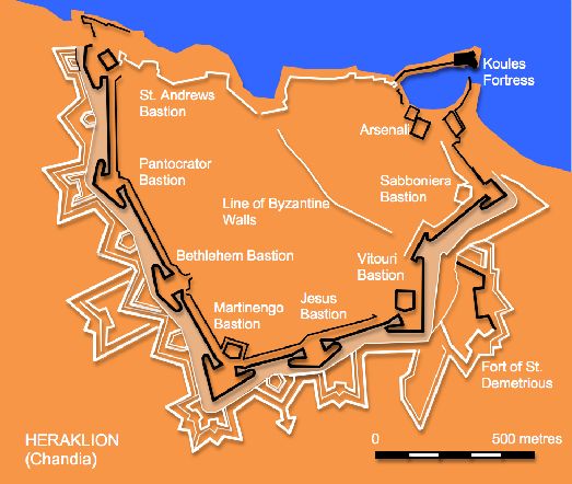
He bore many names, but later received the name of the son of the god Zeus and Alcmene - Hercules. This port city is located on the northern coast of Crete - almost in its very heart. 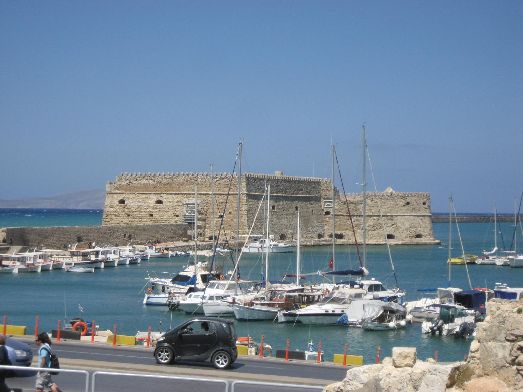
It has about 125,000 inhabitants. The rest of the island is sparsely populated. These are large areas of mountainous areas in which live, perhaps, shepherds. 
Airports in Crete
From Crete you can get by plane to Cyprus, mainland Greece and other European countries. There are 5 airports on the island. Three of them are used for passenger traffic: Heraklion Airport, Chania in Akrotiri and Sitia Airport. The other two belong to the military - these are Castelli and Timbeki.
The island has two main ports: in Heraklion and Souda Bay. Other harbors such as Rethymno, Agios Nikolaos and Sitia are much smaller. There are also several fishing ports along the south coast.
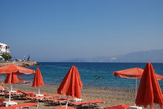
Seas and coastline
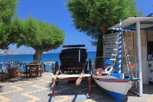
West coast of Crete, Ionian Sea
On South- Libyan.
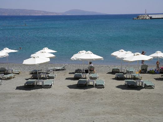
The length of the coastline is 1046 km. It consists mainly of sandy beaches and rocky shores.
Rivers and lakes
The island experiences limited water resources due to its dry climate. The rivers in Crete are short and most of them often dry up in the summer. However, there are several rivers and lakes on the island, which are very important life reserves. The river flows year-round in Preveli in the southern region of Rethymno and the river in Vrisses in the region of Chania. One of the picturesque lakes is Qurna- a small body of water with its surroundings. 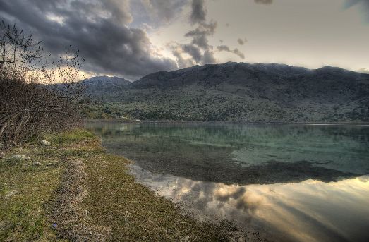
In addition, there are a couple of artificial lakes Agia and Zaros.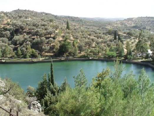
A high mountain range, formed by three different groups of mountains, crosses the island from west to east. This white mountains in the west with a height of 2452 m, central go or Psiporitis with a peak of 2456 m and the eastern mountains dikty, 2148 m. 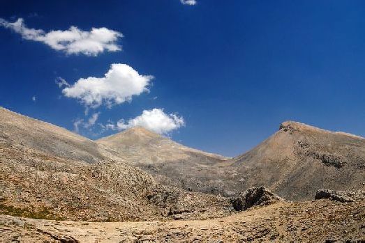
The mountains endowed Crete with fertile soils of the Lassithi, Omalos and Nida plateaus, Diktaion and Idaion caves, as well as the famous Samaria Gorge. This is the main characteristic feature of the island. 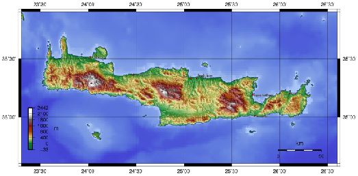 Enlarge map
There are few plain areas in Crete and they occupy a rather small area. These are the Chania, Rethymnon plains, Kastelli-Kissama, the Sitian lowland and the high-altitude plains of Castelli Heraklion and Monofacies.
Island formation and seismic stability
Ten million years ago, the ocean came to the surface between Eurasia and Africa, splitting these tectonic plates in half. And everything that makes up Greece today, along with Crete, went under water. Later, from 1 to 3 million years ago, these two continents began to move towards each other again. This led to the formation of a large distance between the partially submerged limestone mountains, bearing the name of the Greek Island Arc, of which Crete is the southern part. 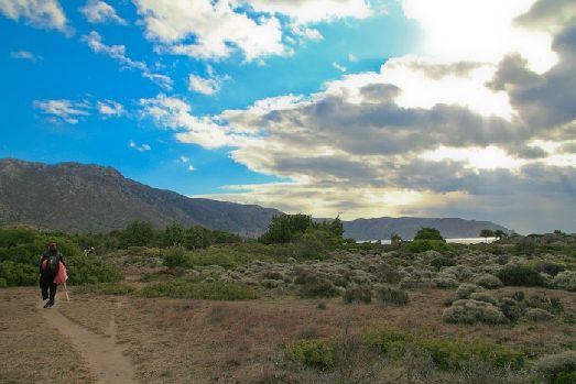
Such uplifts and the decay of the earth created gorges, led to earthquakes, and erosion still continues to shape the island. By means of satellites, it was found that the movement of plates is still ongoing: Crete, together with the southern part of the Aegean Sea, is moving 3 cm per year towards the south, and the African continent is 1 cm north. This is what causes periodic earthquakes.
